The FJ Summit has now officially ended. This page remains here for reference of the great times we had.
Ouray has earned the much-deserved reputation of the "Jeeping Capital of the World". Now its our turn; For four days in July, Ouray will become the Toyota Capital of the World! with breathtaking trails rated from easy to difficult.
Traverse a variety of terrain from extreme high mountain passes and rugged winding roads to areas of spectacular wildflowers that blanket the ground throughout the spring and summer. Four-wheeling enthusiasts travel here all summer long for the breathtaking scenery and then again during the fall months for the spectacular amber colors.
The descriptions below are courtesy of TrailDAMAGE. We've planned our routes (and our own personal offroad fun) for years using the great books from FunTreks. They've expanded to add online and mobile versions of their great trail descriptions -- check them out if you want a great reference for offroad trails!

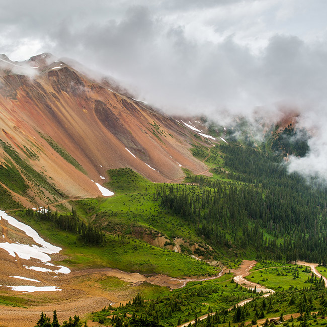
The Alpine Loop (which includes Engineer and Cinnamon Pass) is a 65-mile byway tour of the northern San Juan Mountains. The byway boasts two 12,000+ foot passes.
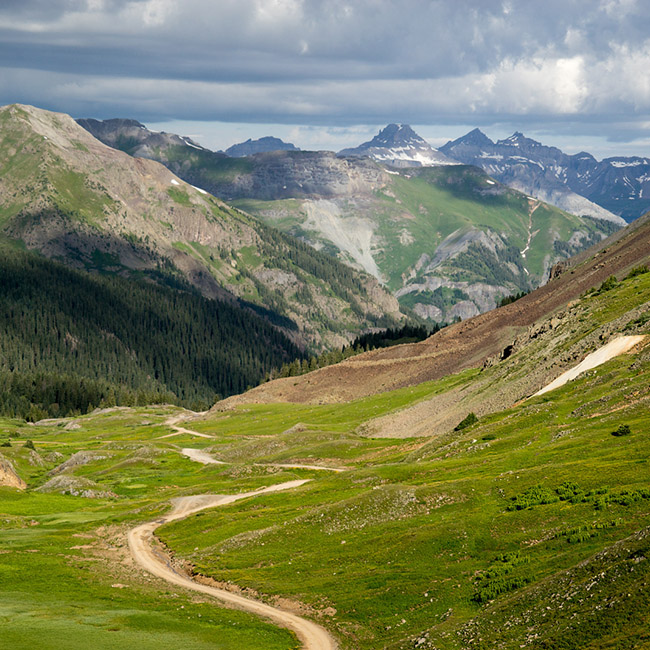
This trail second half of the Alpine Loop and takes you through many of Colorado's historic ghost towns and mining camps. Very Picturesque and a lovely trail to take.
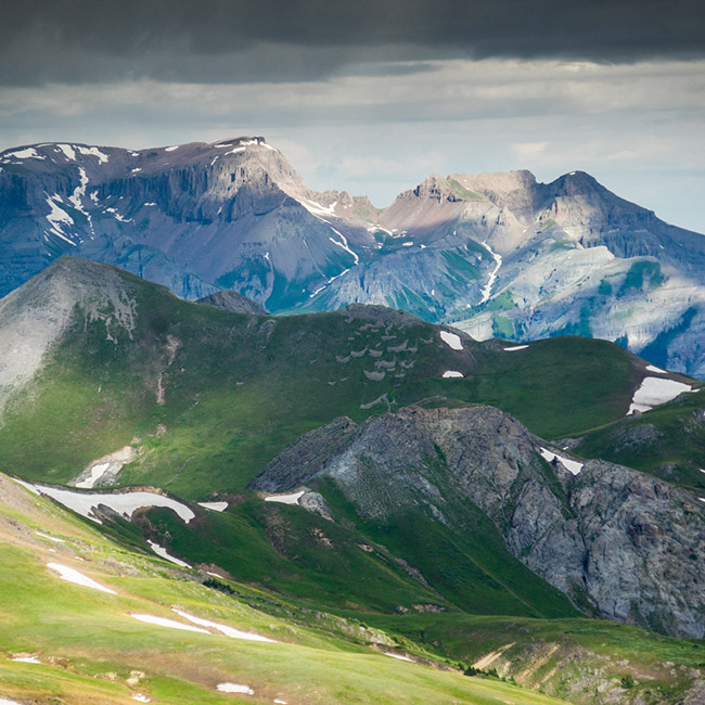
This trail is the first half of the Alpine Loop and is extremely scenic and very long, filled with many things to photograph.
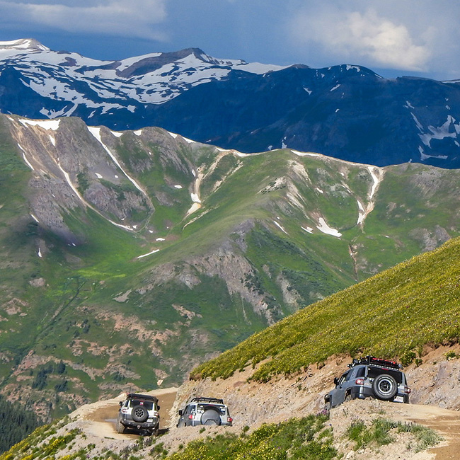
This trail is absolutely beautiful from start to finish. Though it isn't a technically challenging trail it does follow very narrow shelf roads and includes a stop at a ghost town!.
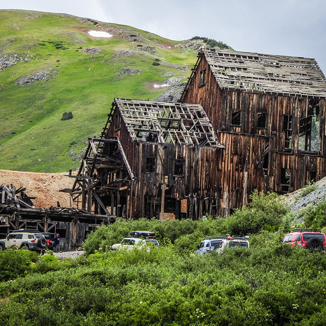
If you enjoy the red-colored mountains in the Ouray area you will really enjoy Corkscrew Gulch. This trail climbs between 3 Red Mountains and connects highway 550 to highway 11.
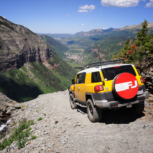
This is a heart-stopping and breath taking alpine trail to Telluride passing right by the spectacular Bridal Veil Falls. This is one of the most famous trails in the state and for good reason. It's beautiful and slightly terrifying. The Trail starts off 550, and return to Ouray over Ophir Pass from Telluride.
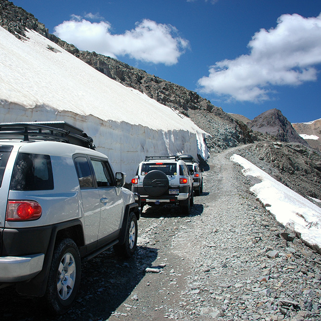
The trail is wide and surrounded by trees and is fairly easy, but some shelf roads and switchbacks will keep your hands on the wheel. Views of Telluride are amazing! The Imogene Pass trail run will go from Ouray to Teluride via Imogene Pass, and return to Ouray over Ophir Pass and Highway 550.
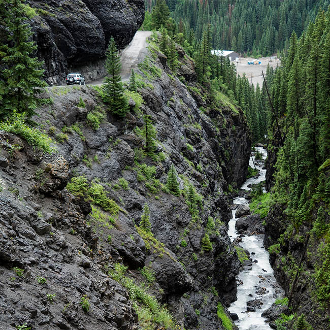
This is one of the trails that takes you to the "Alpine Loop" of Engineer Pass and Cinnamon Pass, as well as many other trails including Poughkeepsie Gulch. It is popular yet more difficult than many people anticipate.
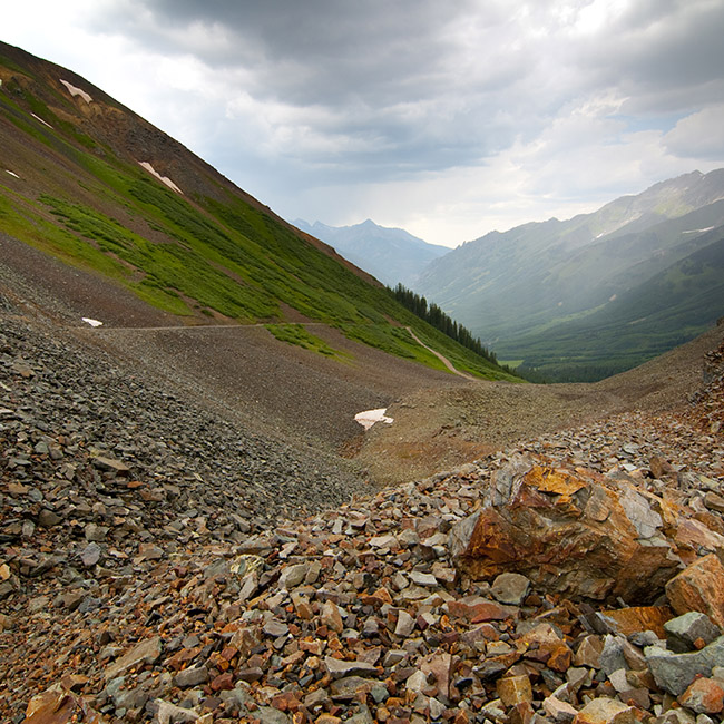
This trail is fairly easy though you spend a lot of time on a shelf road. The road is usually narrow so if you have to pass someone it could be difficult and dangerous. The trail connects Telluride and Silverton and is very scenic. The Black Bear Pass and Imogene Pass trail runs will return from Teluride over Ophir Pass. Ophir Pass is also a good choice to make a loop to Teluride with Last Dollar Road.
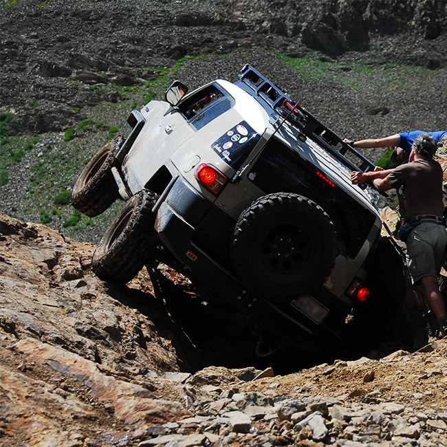
This trail is one of Ouray's more difficult trails, with absolutely beautiful views and some fun on rocks and water, depending on snow melt conditions. Additional obstacles add to the fun and challenge!
RECOMMENDED EQUIPMENT: Lifted and armored. Stock MAY be OK, but you will have to be very cautious to avoid undercarriage damage. Optional obstacles near the end of the trail may require winching.
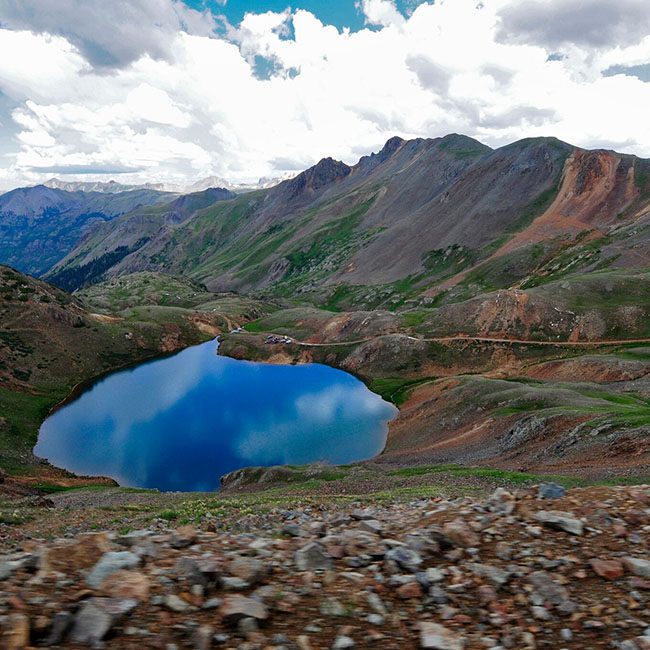
The Northern Gulches trail run gives you the opportunity to see the beautiful alpine scenery of California and Corkscrew gulches from the opposite direction of our other runs. Placer and Picayune gulches are next up and include the site of the Gold Prince Mill. Depending on timing, your trail leader may include Eureka Gulch, which passes by the Sunnyside Mill site, and the ghost town of Animas Forks.

The Southern Gulches trail run first takes you down the Million Dollar Highway to historic Silverton. This run concentrates on the southern gulches including Arrastra, Cunningham, Minnie and Maggie. The mountains just keep on giving as you continue past many historic mine sites tucked away in these gulches including the Whale Mill, Mayflower Mine, Caledonia and Little Maud mines.
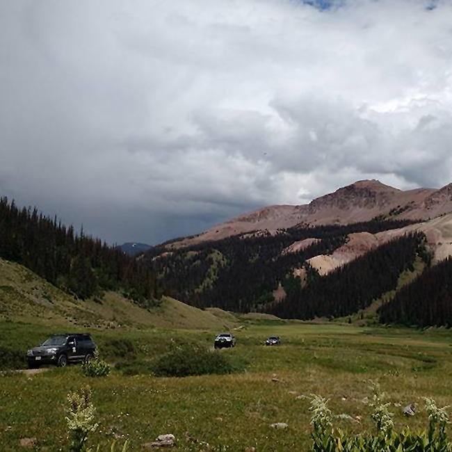
This out-and-back trail run begins with a trip down the winding Million Dollar Highway to historic Silverton. Stony Pass traverses the continental divide and crosses Pole Creek before continuing to the final destination of Kite Lake at 12,139 feet above sea level. When you stop, be sure to spend a few minutes admiring the beautiful turquoise water. Be aware that the water level at Pole Creek can vary significantly depending on rains and snow melt. The scenery is especially wonderful when the wildflowers are in full bloom.
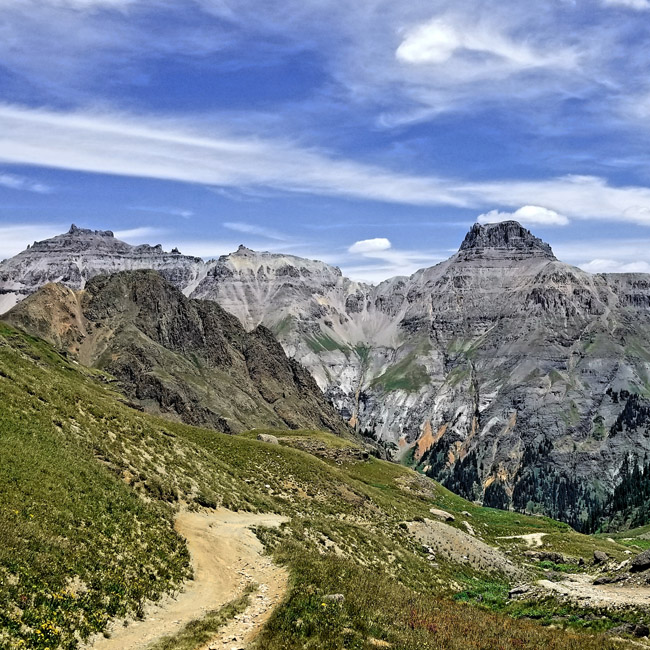
This trail branches off of Yankee Boy Basin and doesn't see a great deal of traffic because it is a well-hidden gem. It is not a long trail but it is a fun change of pace and the mountain scenery comes at you from all directions. The trail is extremely tight and rocky in some places and concludes with a narrow, off-camber shelf road. Because this trail is a very tight loop road, we are only able to offer limited runs in small groups. We only run this loop counterclockwise. This trail has some potentially uncomfortable off-camber sections on extremely narrow roads.
RECOMMENDED EQUIPMENT: Lifted and armored. We do not recommend a stock vehicle for this trail. Undercarriage damage is possible, and there may not be turn-arounds to avoid obstacles.
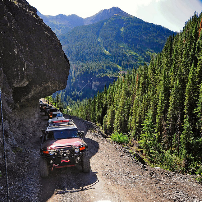
A very popular trail, this one can't be missed if you find yourself in the area. It is short and not particularly difficult and you get to see some gorgeous sites. It intersects with Imogene Pass, Governor Basin and basically is the end of road 361 out of Ouray. It starts with the Torpedo Eclipse Mill on your right and the Ruby Trust Mine on your left. A little further up the trail and you can see the Atlas Mill on the left.
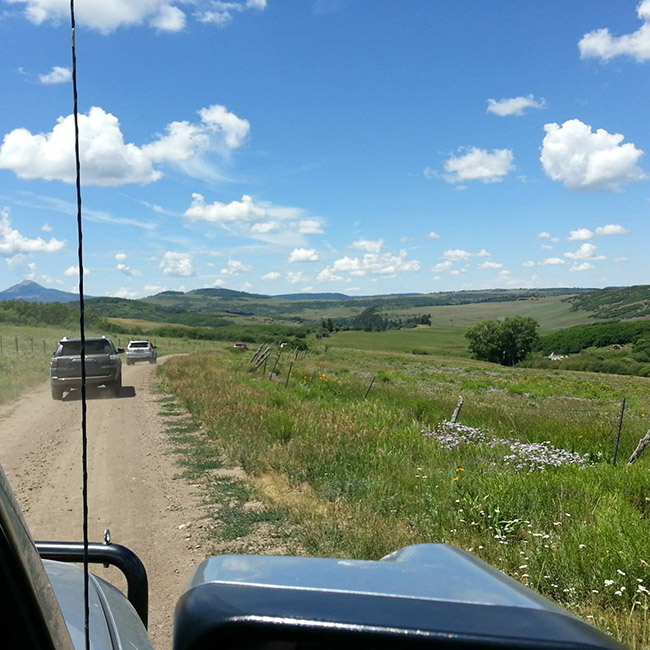
This road was originally an early supply route from Ouray to Telluride. This extremely easy road traverses through picturesque ranches, passes through beautiful aspen forests, and provides scenic views of the San Miguel canyon as you wind your way to Telluride. Beautiful in the fall with its amber colored aspen stands.
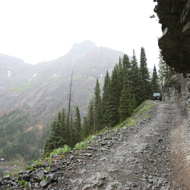
Because this trail is not as used as Yankee Boy Basin it ends up being a lot more private. It is a network of trails with lots of sights to see. The network of trails starts right away after a climb on a shelf road. The whole area is fun to explore. As you are climbing the switchbacks keep your eyes peeled for a very well-hidden trail that leaves from the turnoff in a switchback as you climb and make a right turn. This is the place you will come back to if you make a loop around Sydney Basin. The trail at this end is narrow, off camber, and not traveled very often.